
Cook Islands–U.S. science partnership delivers new maps, samples and deep-ocean knowledge
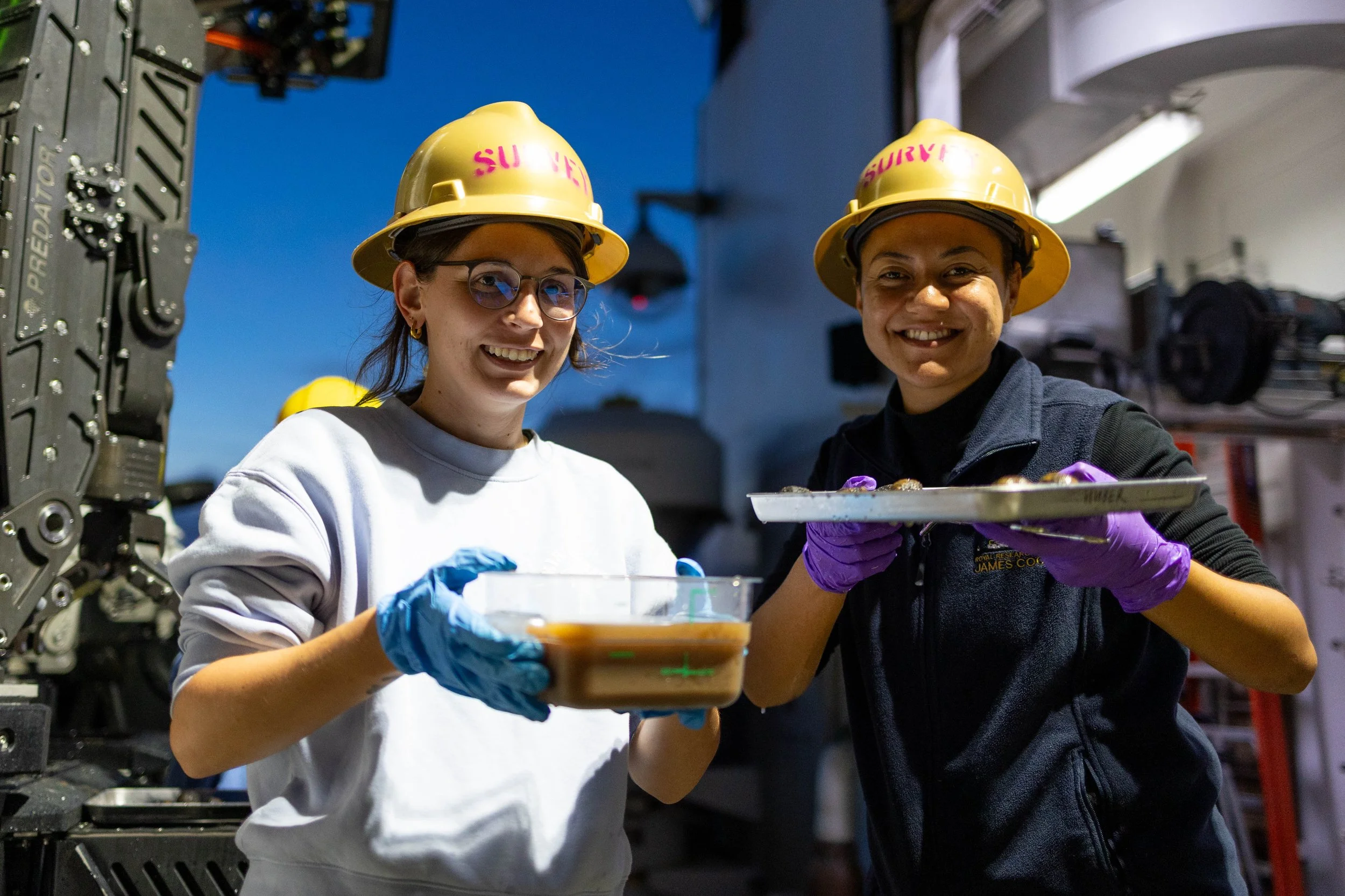
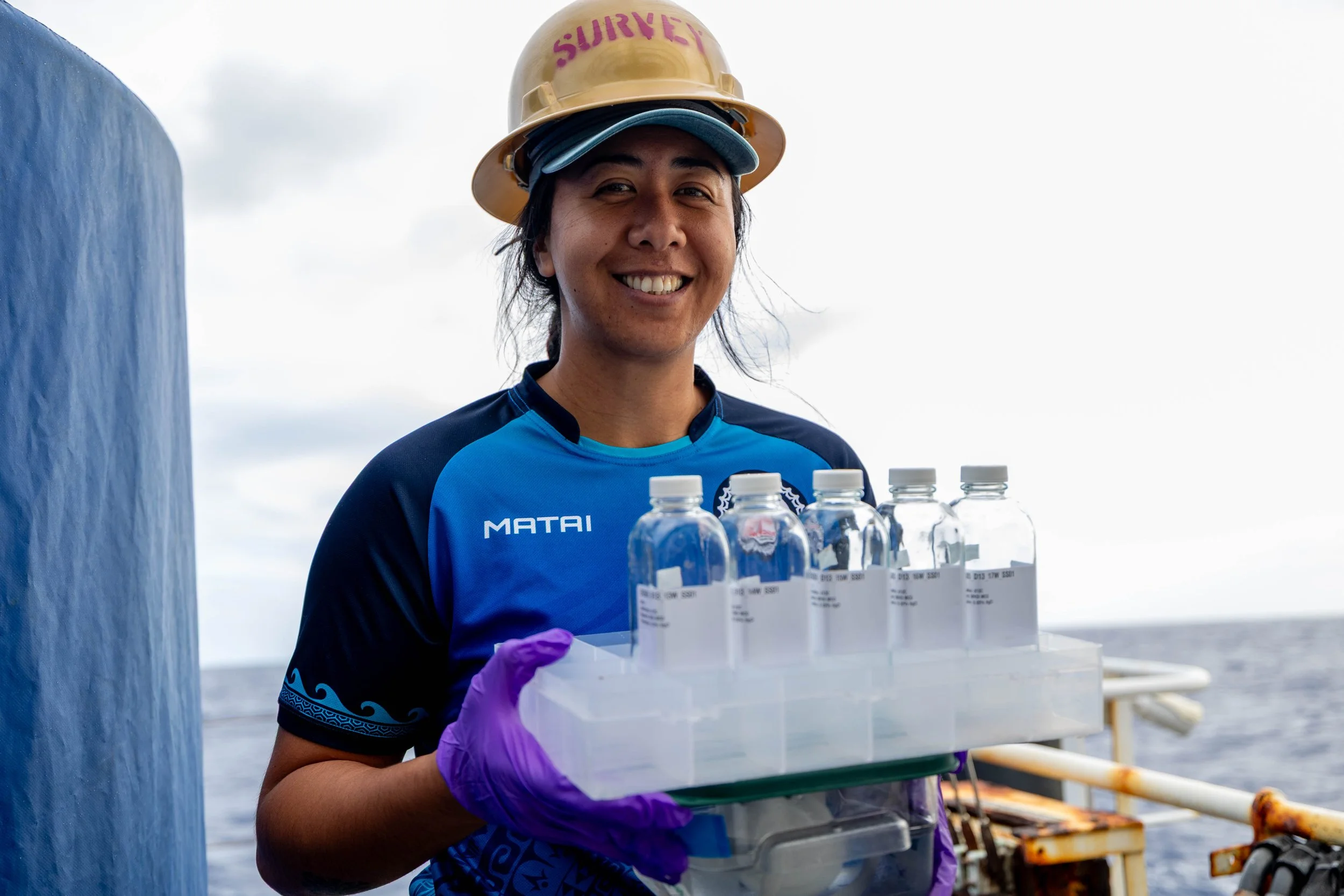
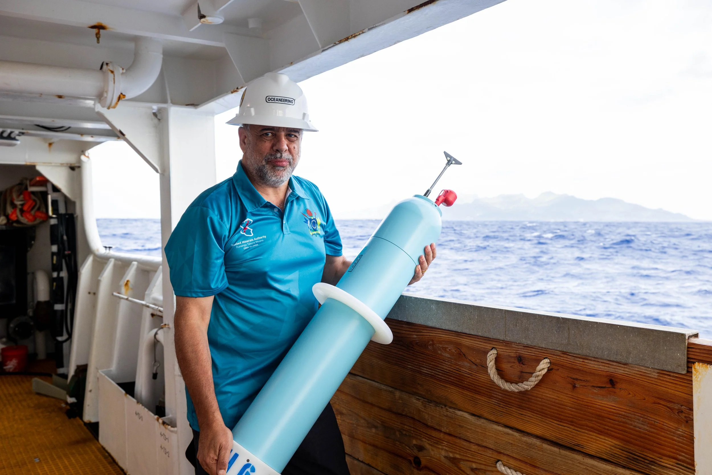
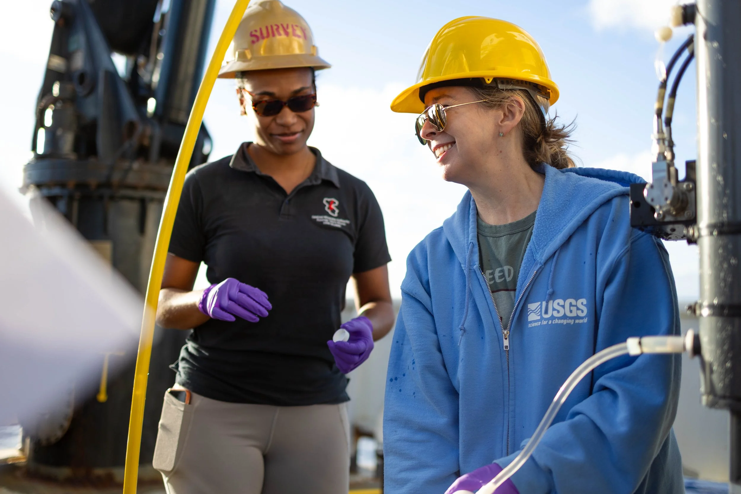
SBMA team aboard Okeanos Explorer
More than 52,000 square kilometres of seafloor mapping, almost 500 scientific samples, and extensive deep-sea imagery collected during the 2026 Cook Islands ROV Exploration are now supporting ongoing research involving Cook Islands scientists and United States partners.
The 26-day EX2605 expedition aboard NOAA Ship Okeanos Explorer, conducted from 19 July to 13 August 2026, brought together the Seabed Minerals Authority (SBMA), NOAA, the U.S. Department of State, and other scientific partners. Cook Islands scientists contributed directly to remotely operated vehicle (ROV) operations, mapping, sample collection and processing, and science planning.
For SBMA, the value of the cruise did not end when the vessel left Cook Islands waters.
The next phase is now underway: turning the maps, imagery, samples, and observations collected at sea into scientific information that can strengthen understanding of the Cook Islands' deep-ocean environment.
Seeing the deep ocean up close
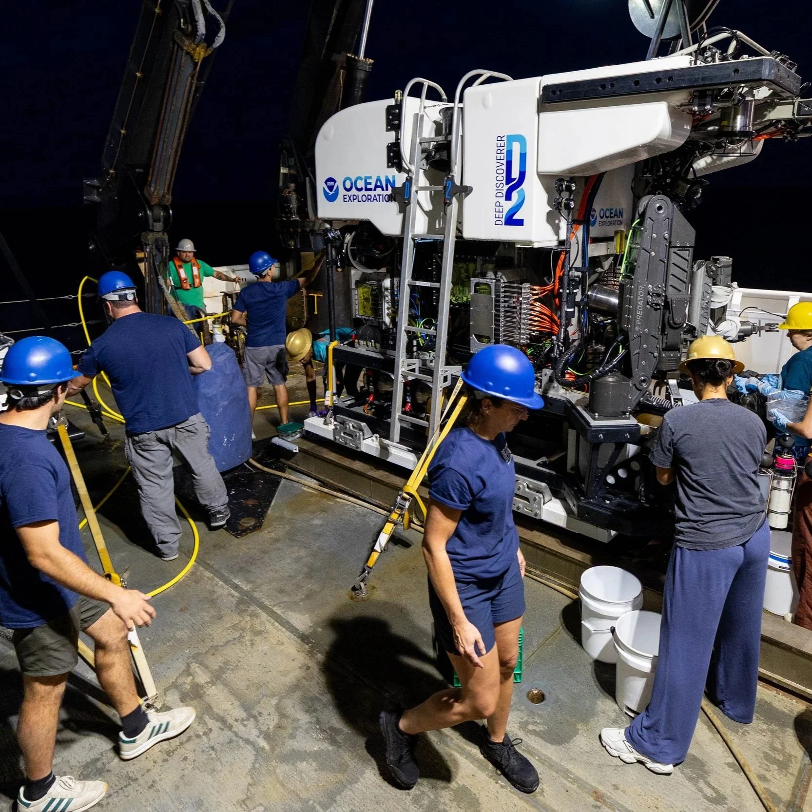
One of the major achievements of the cruise was the collection of high-resolution video and imagery through the remotely operated vehicle Deep Discoverer.
ROV operations allowed scientists to observe deep-sea habitats, marine organisms, geological features, and seabed conditions in areas that are difficult to access by any other means.
SBMA staff participated across both legs of the expedition. Tanga Morris Jr joined the first leg; Chloe-Ane Wragg participated across both legs, while Knowledge Management Director Dr John Parianos and Senior Knowledge Management Officer Rima Browne joined the second leg.
For Tanga, participating in the expedition meant being part of the science as it happened, from observing ROV dives in real time to helping manage the information collected from the deep ocean.
“Every dive showed us something different about this part of our waters. The next step is making sure that information is analysed and contributes to the knowledge we are building for the Cook Islands.”
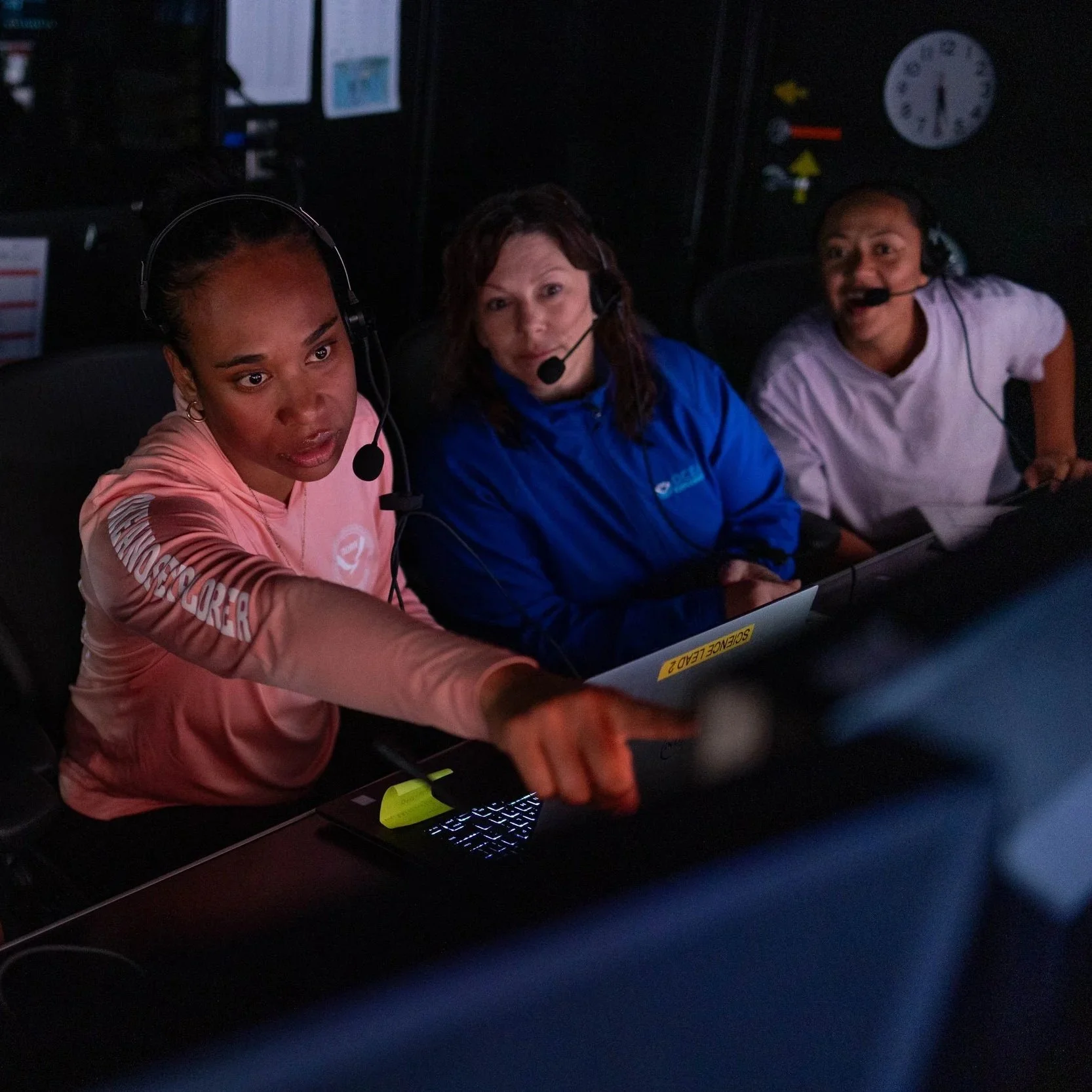
The imagery collected during the cruise will continue to support biodiversity research and environmental baseline work. The Deep-Sea Animal Research Center (DARC Lab) at the University of Hawai‘i will analyse the ROV footage to annotate visible megafauna.
Annotation involves carefully reviewing imagery and identifying the animals observed. This turns hours of video into structured biological information that scientists can use to better understand where different animals occur, at what depths and in which habitats, and how deep-sea communities vary between locations.
For Chloe-Ane, the value of the imagery lies in what happens after the cruise.
“The ROV footage provides invaluable data about the deep-sea environment in our waters. But collecting that footage is only the first step. It must be logged, reviewed, annotated and connected with other information before we can start building a clearer picture of the animals and habitats that are there.”
More of the Cook Islands seafloor mapped
Mapping was another major outcome of EX2605.
During the cruise, 52,569 square kilometres of seafloor were mapped, adding approximately 2.7 per cent to the Cook Islands National Bathymetry Grid. The mapped area was largely in the western part of the Cook Islands Exclusive Economic Zone and included valuable mapping along the boundary with American Samoa.
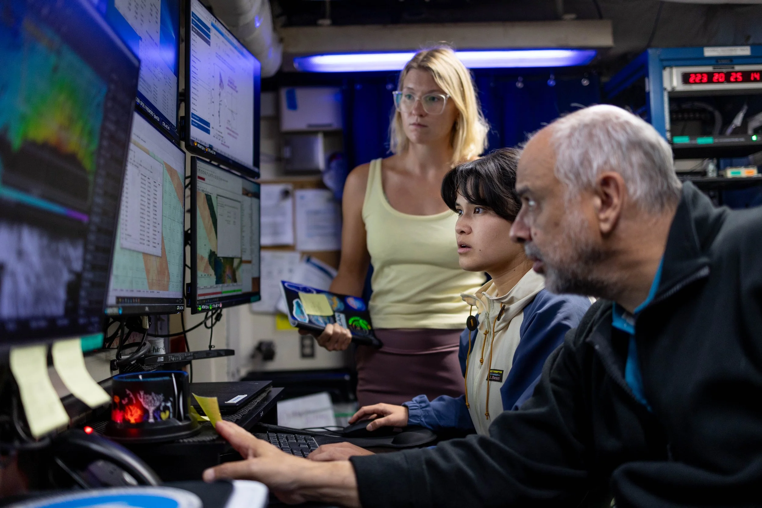
The preceding NOAA expedition, EX2604, also mapped an additional 13,585 square kilometres within Cook Islands waters. Together, the two expeditions mapped 66,154 square kilometres within Cook Islands waters during 2026.
Bathymetry is the measurement and mapping of the depth and shape of the seafloor. It helps scientists understand underwater landscapes, identify geological features, and build a clearer picture of the seabed.
The new EX2605 mapping data has been submitted to SBMA and will be incorporated into the Cook Islands National Bathymetry Grid through SBMA-led work. Once incorporated, it will expand the area of the Cook Islands seafloor represented in the national grid and improve understanding of seabed depth, shape, and geological features within the country’s ocean space.
Combined with ROV observations and physical samples, the mapping provides another layer of information for understanding deep-sea environments.
Almost 500 samples supporting further research
Almost 500 biological, water, sediment, and geological samples were collected and processed during the cruise. These samples are now supporting a wide range of scientific questions.
Water samples will be analysed for carbon isotopes and environmental DNA, or eDNA.
The ratio of carbon-13 to carbon-12, known as δ¹³C, acts like a natural chemical signature in seawater. Measuring it can help scientists identify different water masses, better understand where they originated, and trace how they move and mix through the ocean.
Environmental DNA refers to traces of genetic material that organisms leave behind in their environment. Analysing eDNA in seawater can provide scientists with information about the organisms present without needing to physically collect every species.
Conductivity, temperature, and depth measurements were also collected using a CTD system, helping scientists better understand water masses and conditions throughout the water column.
Geological and sediment samples will support further research in areas including microbiology, carbon dating, and geochemistry.
Biological specimens will help scientists verify taxonomy; the process used to correctly identify and classify species and confirm the identity of animals observed or collected during the cruise. This contributes to a better understanding of the deep-sea animals living in Cook Islands waters and how similar or different they may be to species found elsewhere.
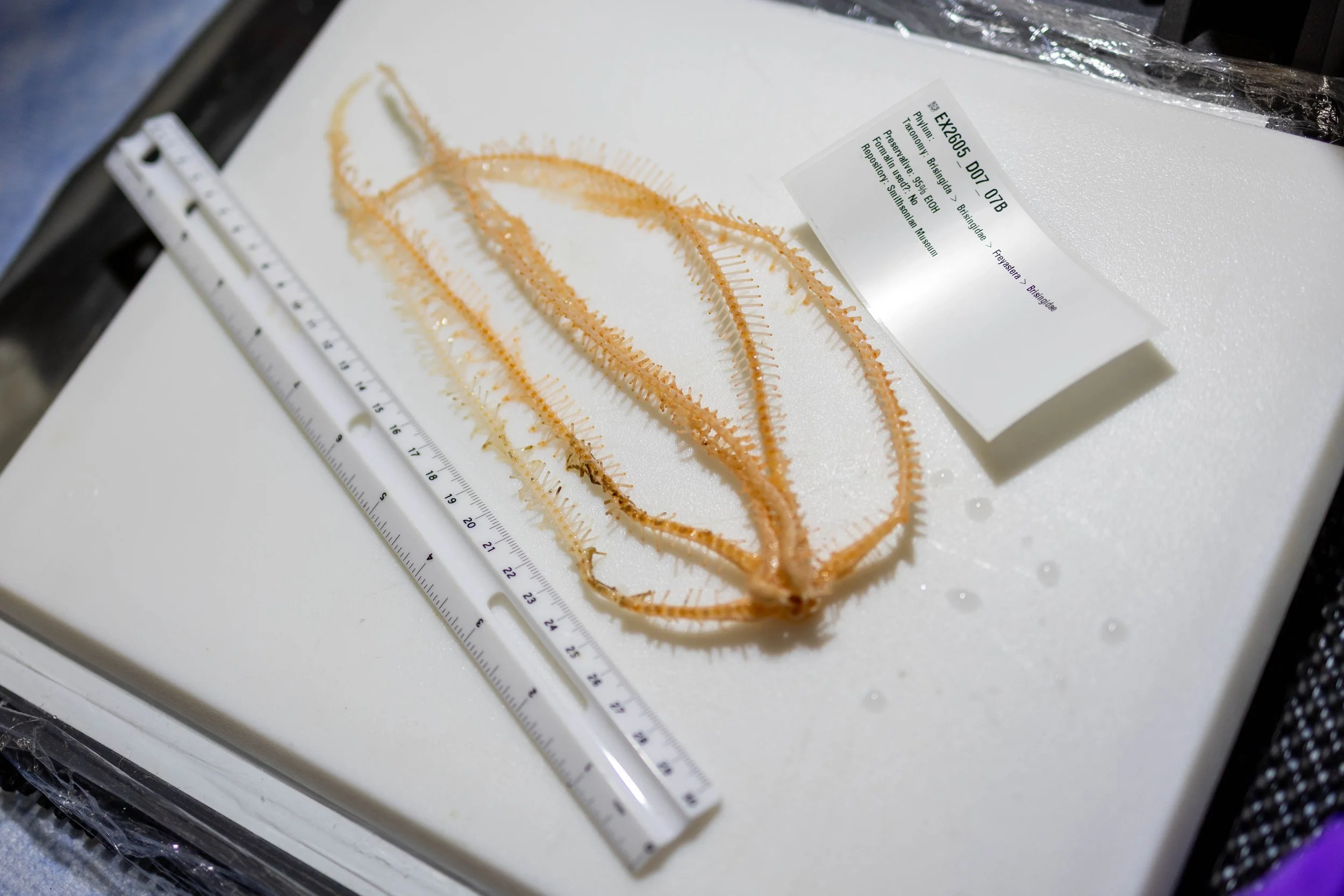
Brisingid Sea Star photographed in the lab with allocated sample ID and ruler for scale. Sample was collected on Dive 7 in North West of the Cook Islands EEZ.
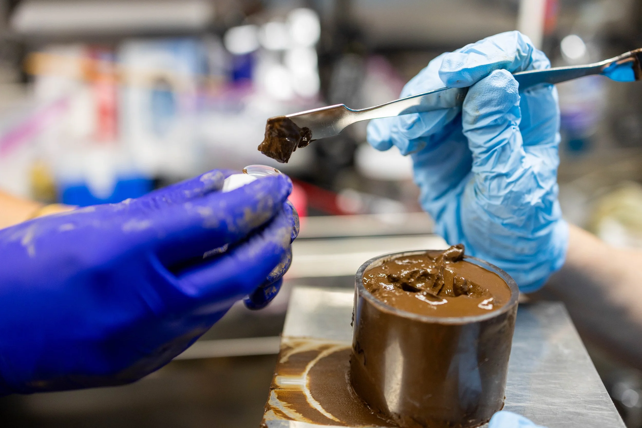
A spoonful of fine, dark brown seafloor sediment is taken from a core sample and preserved for later analysis onshore.
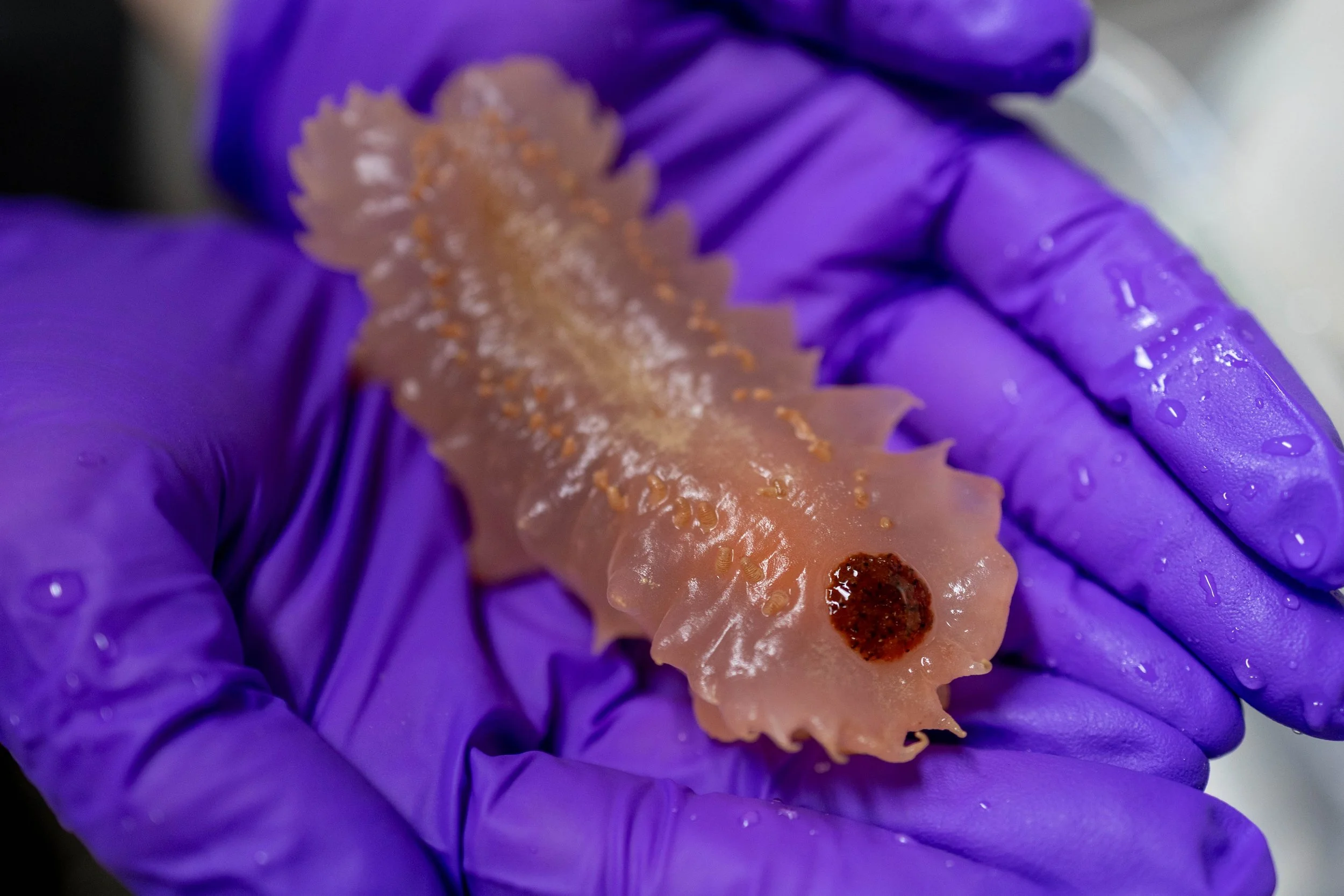
A translucent pink deep-sea sea cucumber. Its intestines are visible, and rows of papillae help it sense its surroundings and move along the seafloor.
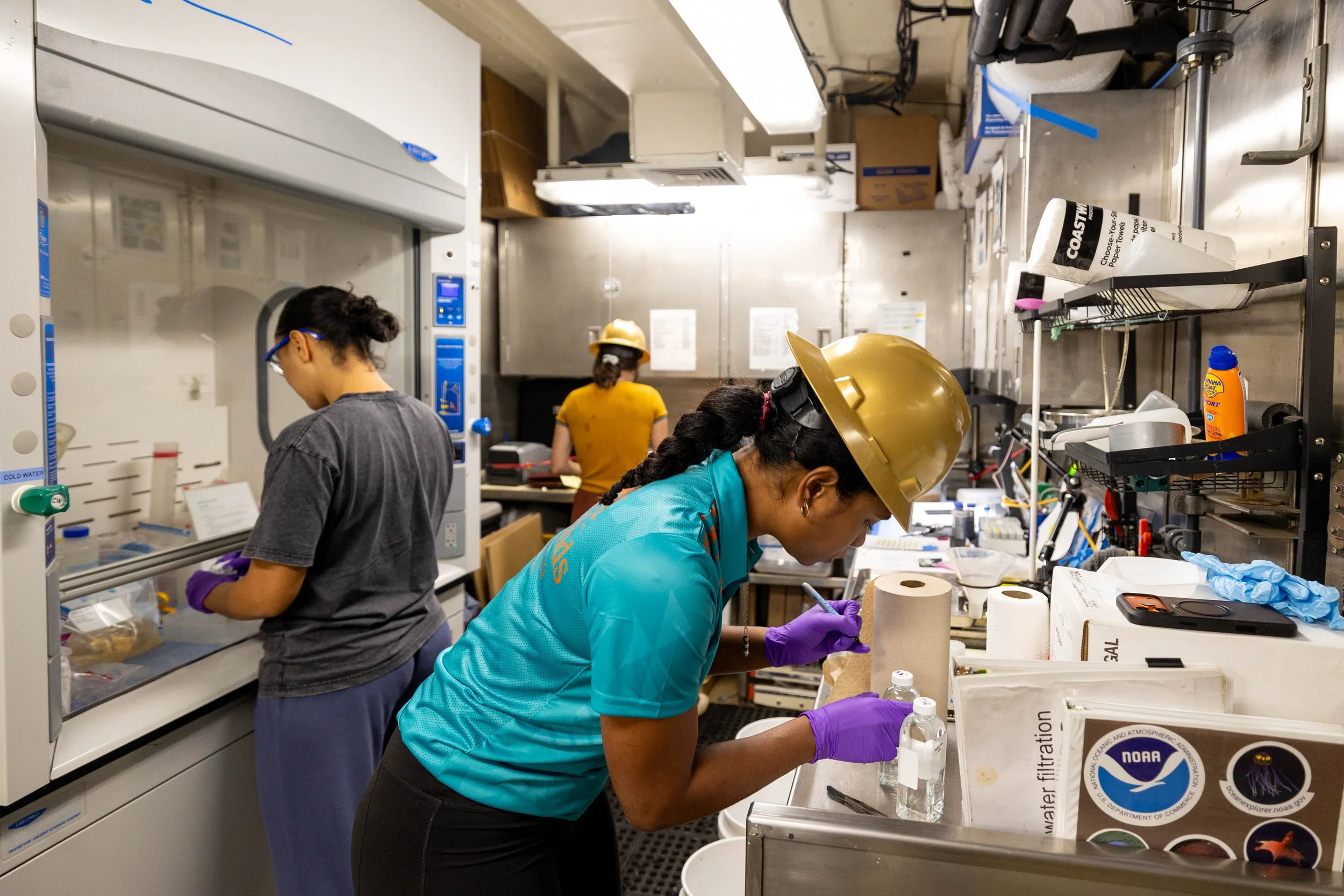
SBMA and NOAA scientists in the lab processing water samples for carbon 13 analysis after collection from the ROV.
Samples are being distributed to collaborating research institutions for specialist analysis, including SBMA, the Smithsonian Institution, the United States Geological Survey, Woods Hole Oceanographic Institution, and the University of Rhode Island.
SBMA’s Knowledge Management team will remain involved with partner scientists as analysis progresses and is expected to contribute to scientific papers and other research outputs arising from EX2605.
Senior Knowledge Management Officer Rima Browne said the scientific value of the cruise will continue well beyond the work completed at sea.
“What came off the ship was not the final scientific result. The samples now have to be analysed and interpreted. That work is continuing with different research institutions, and our team remains involved in that process.”
“That is important for us because these samples came from Cook Islands waters. Our scientists are involved not only in collecting the information, but also in understanding what it tells us.”
Bringing the deep ocean home
Some of the expedition’s most tangible results can already be seen here at home.
Eight samples collected during the cruise were donated to the Cook Islands National Museum, giving members of the public an opportunity to see physical examples of animals and geological material recovered from the deep ocean.
The collection includes preserved biological specimens and geological material, including a deep-sea holothurian, or sea cucumber, a glass sponge, shark teeth, polymetallic nodules, and basaltic rock collected from the edge of the Rarotonga seamount.
These specimens provide Cook Islanders with a rare opportunity to see material collected from environments thousands of metres below the ocean surface.
Another unusual specimen recovered during the expedition was a fossilised whale beak, collected from approximately 3,500 metres depth. Measuring almost one metre in length, the specimen is currently held in SBMA’s archive while preservation work is considered, with the intention that it eventually be donated to the National Museum.
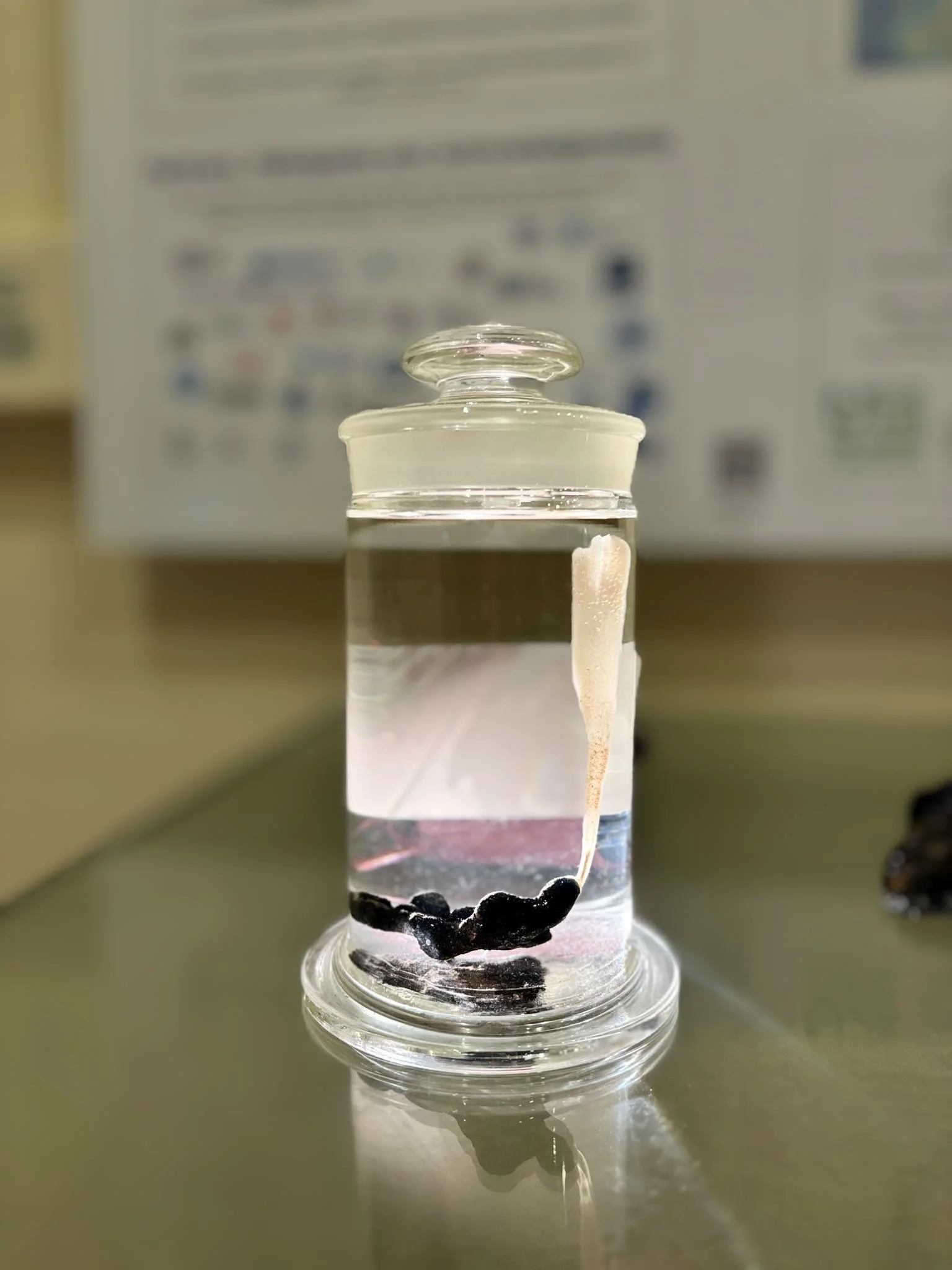
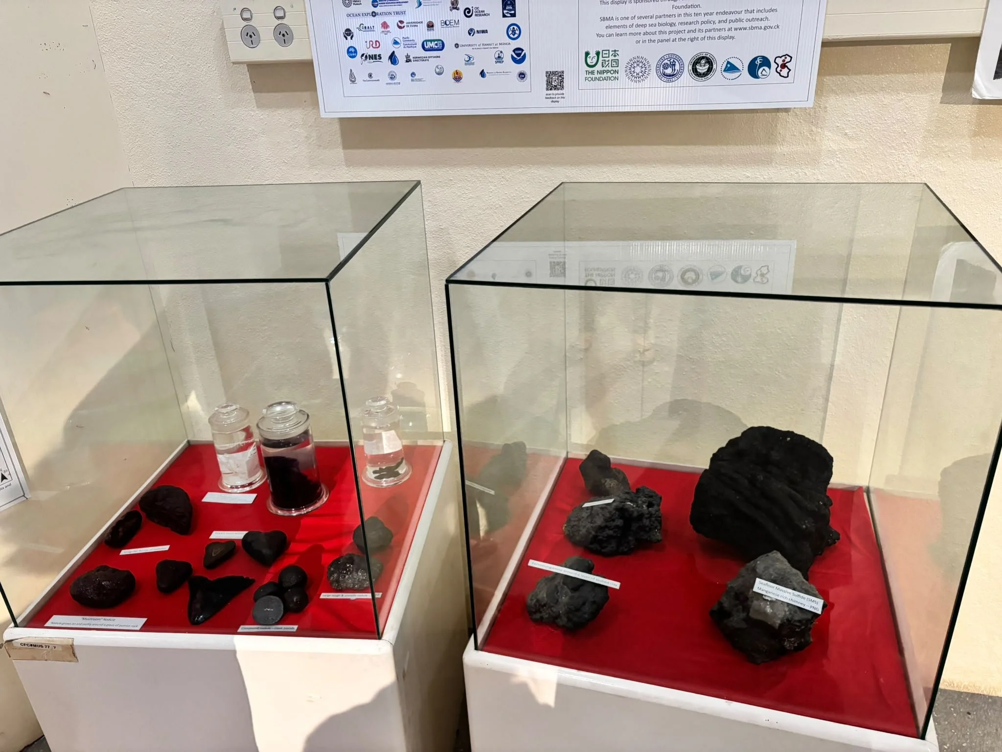
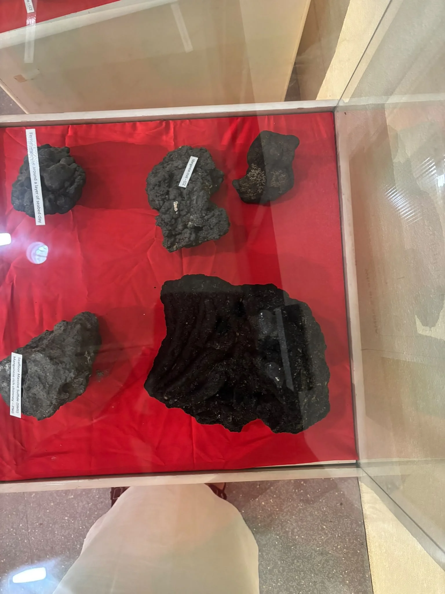
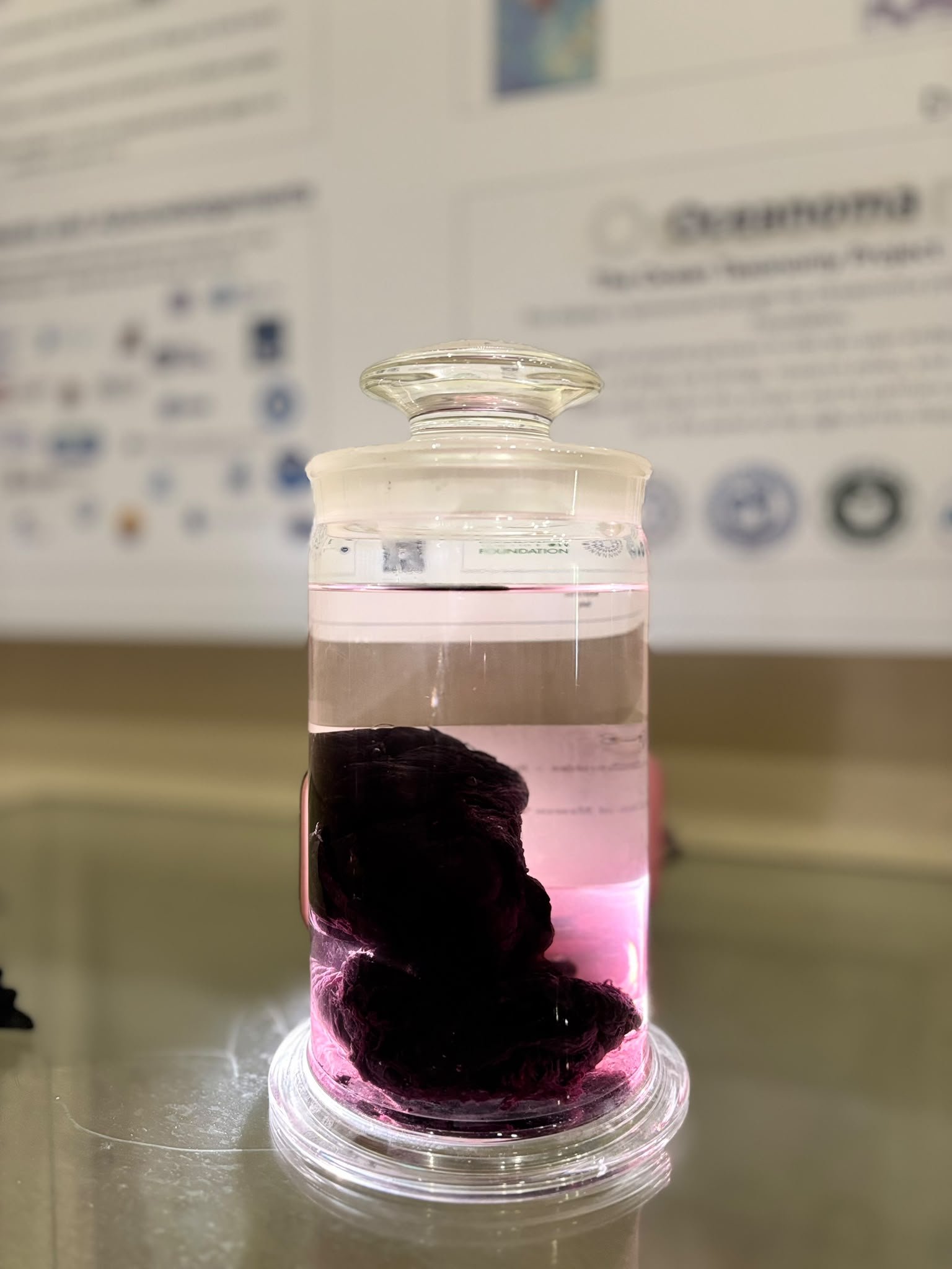
Images of the deep-sea specimens donated to the Cook Islands National Museum — especially the sea cucumber, glass sponge, shark teeth, polymetallic nodules and basaltic rock.
From Cruise to continuing research
The expedition has also created and strengthened research relationships that continue beyond the voyage.
SBMA scientists are now working with researchers from NOAA, the U.S. Geological Survey, and American universities on research arising from EX2605. This includes biodiversity and image analysis, geology, water chemistry, environmental DNA, and other areas of deep-ocean science.
Further analysis is expected to contribute to technical reports, scientific papers, and other research outputs as samples reach laboratories and research progresses.
For SBMA, continued Cook Islands involvement in this work is important.
It means Cook Islands scientists remain part of the interpretation of information collected within national waters, rather than simply receiving research findings after the work is complete.
The expedition also built on earlier deep-sea research, including the 2025 Deep-Sea Habitats of the Cook Islands expedition aboard Exploration Vessel Nautilus, adding new information from different parts of the Cook Islands ocean space.
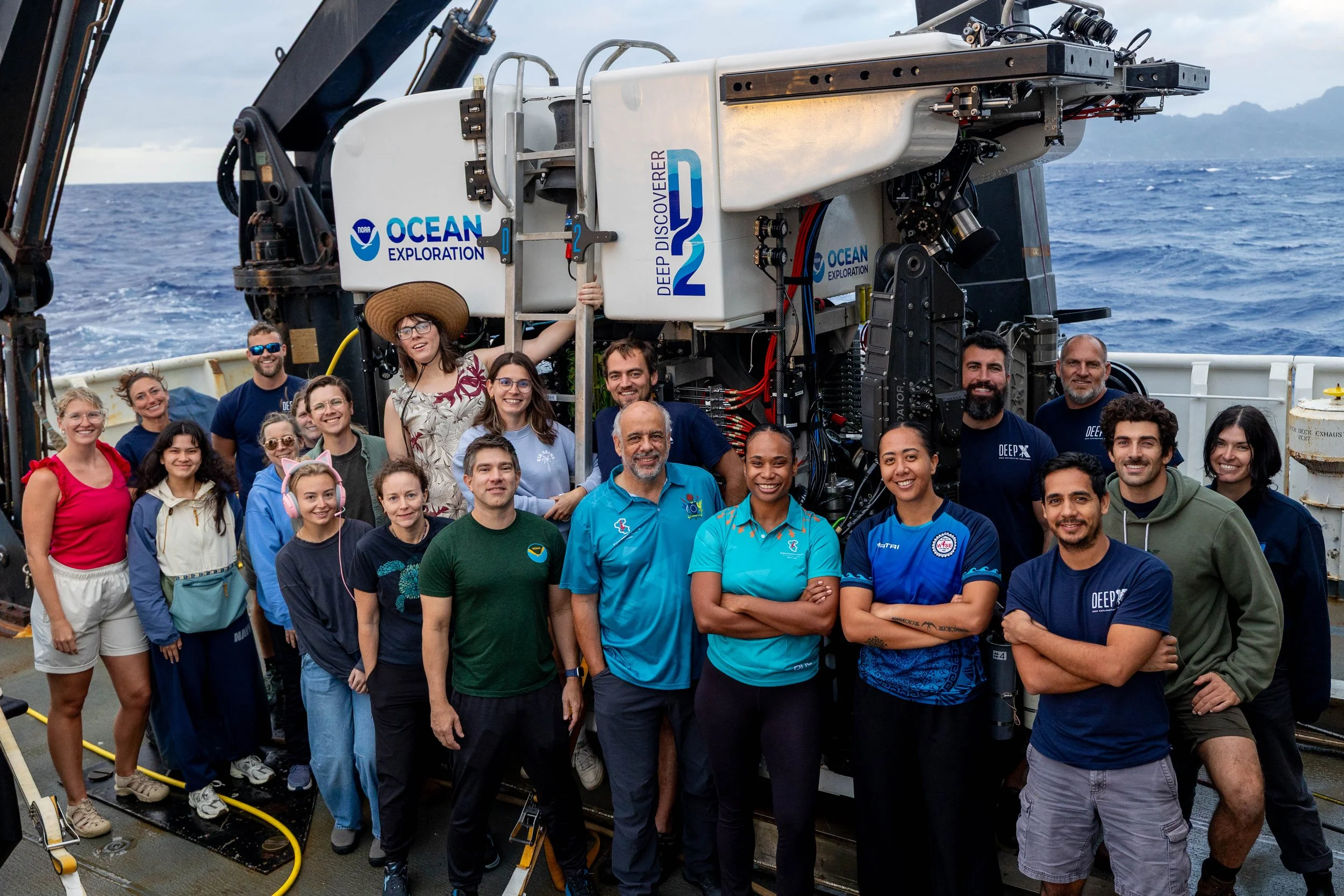
EX2605 | 2026 Cook Islands ROV Exploration Crew
Science first, decisions later
The 2026 Cook Islands ROV Exploration was a scientific exploration and mapping activity.
It did not authorise commercial seabed minerals harvesting and did not replace any legal, environmental, or public decision-making process under Cook Islands law.
The Cook Islands remain in the exploration and research phase.
The information collected through EX2605 will add to the growing national knowledge base on deep-sea geology, biology, water-column conditions, and seabed environments.
For SBMA, the work now is to make sure that information gathered from Cook Islands waters continues to be analysed, understood, and used to strengthen Cook Islands knowledge of our deep ocean.
Stay Informed
For SBMA news, research, publications, events and public consultation notices, visit our website or follow us on Facebook. To receive our quarterly newsletter, email us.
Visit the SBMA website | Follow SBMA on Facebook | Request the Newsletter
For further information or media queries, please contact sbma.media@cookislands.gov.ck.