SBMA Maps
Maps are useful tools used to visualize and understand the deep-sea environment of the Cook Islands. Check them out below.
List of Island seabed bathymetry maps - for printing (note scale is for A1 size paper)
2026 1:250,000 Scale Pukapuka seamount and surrounds - coming soon
John Parianos, Rima Browne
2026 1:250,000 Scale Manihiki & Rakahanga seamounts and surrounds
John Parianos, Rima Browne
2026 1:250,000 Scale Mangaia seamount and surrounds
John Parianos, Rima Browne
2026 1:250,000 Scale Rarotonga seamount and surrounds
John Parianos, Rima Browne
2026 1:250,000 Scale Palmerston seamount and surrounds
John Parianos, Rima Browne
2026 1:250,000 Scale Aitutaki seamount and surrounds
John Parianos, Rima Browne
List of other maps
2025 1:120,000 Scale Bathymetry, Backscatter and Geology of the seabed southeast of Rarotonga
John Parianos
2026 1:3,000,000 Scale Geomorphological Map of Kiribati, Cook Islands and neighbouring abyssal plains
John Parianos, Rima Browne, Joyce Uan, Catherine Paul
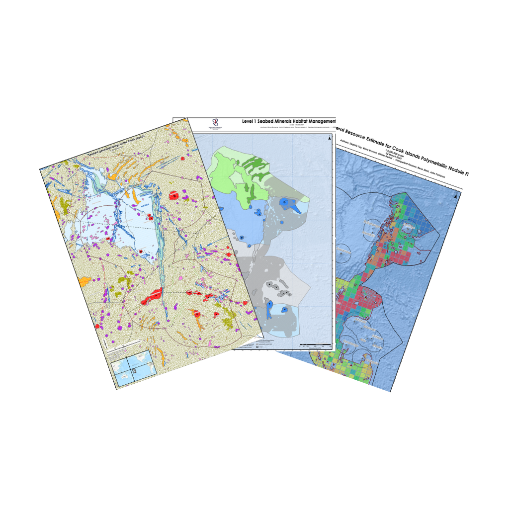
2024 Level 1 Seabed Habitat Management Zones rev0.2
Rima Browne, John Parianos, Tanga Morris Jnr
2023 Mineral Resource Estimate for Cook Islands Polymetallic Nodule Field
Stephie Tay, Rima Browne, Olivier Bertoli, John Parianos
2022/2024 Geomorphology of the Cook Islands rev2
Rima Browne, John Parianos, Alain Murphy